Isla Fuerte on foot
Isla Fuerte map
find your way
Tap a place to see how long it takes to walk there from Casa Blanca and which trail to follow. Before you set off, download the map to use it offline.
Not sure where the island is? See it on the map of Colombia ↓
Suggested walks
Approximate itineraries along the paths. Bring water, a hat and comfortable shoes.
All places
Nature
-
↗
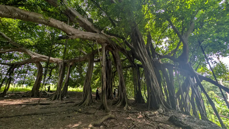
Embrace the presence of this giant, sacred ancestral tree.
- ↗
- ↗
- ↗
- ↗
- ↗
-
↗
Take mindful walks and feel the breath of the ecosystem.
History & culture
Beaches
Headlands
Useful
Mobile signal is weak on the island. Before you set off, download the GPX file and open it in Organic Maps or OsmAnd: you will have places, paths and walks offline. You can also print the map. Download GPX
where are we?
in the Colombian Caribbean
Off the coast of Córdoba, 11 km from the mainland and two and a half hours from Montería, the nearest airport. Lanchas (water taxis) leave from Paso Nuevo.
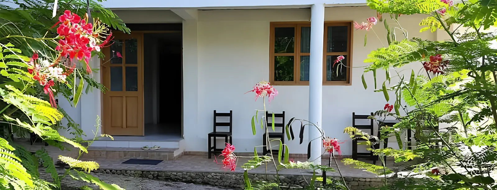
- Casa Blanca, Isla Fuerte
- Airport